Home / Experience Mauritius / Beaches / Cap Malheureux Beach
The northernmost point of Mauritius — a small working beach of fishing boats and calm water, with Coin de Mire filling the horizon and the red-roofed chapel a few steps behind.
Cap Malheureux sits at the very tip of the island, and the beach here is small, working and unpolished — pirogues drawn up on the sand, nets drying, a strip of grass and casuarinas between the water and the coast road. The name means unfortunate cape, earned by the ships wrecked on this exposed point over the centuries, and it was here that British forces landed in 1810 in the campaign that took Mauritius from the French.
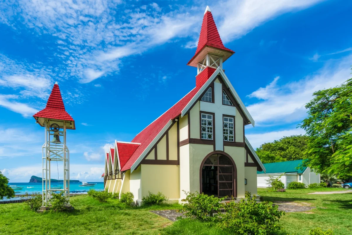
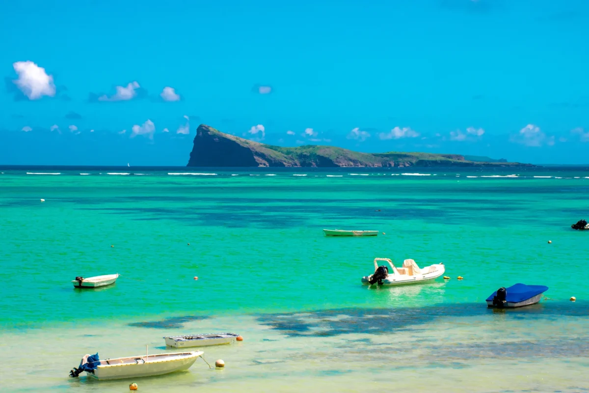
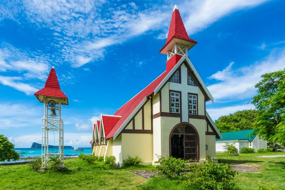
What brings people is the view. Straight out to sea sits Coin de Mire — Gunner’s Quoin — a wedge of rock rising from the water, with Flat Island and Round Island beyond it on clear days. Behind the sand stands the chapel of Notre Dame Auxiliatrice, whose red corrugated roof against white walls and blue lagoon has become the single most photographed image of the island. The lagoon itself is shallow and generally calm, fine for a gentle swim, though this is a working shoreline rather than a resort beach: expect boats coming and going, and less sand than at the beaches ten minutes south. Many northern boat trips — to Coin de Mire, Flat Island and Gabriel Island — leave from this stretch of coast.
Shallow and generally calm inside the reef. No lifeguards, and this is an active fishing and boat-launch beach — keep clear of pirogues and mooring lines, and mind the rocky patches underfoot.
A camera and something to cover shoulders and knees if you plan to look inside the chapel. There are small shops and snack outlets in the village, but little on the sand itself.
Roadside parking along the coast road, which fills at weekends, plus grass and casuarina shade behind the sand. Village shops and restaurants are a minute away; the beach itself is small, so arrive early if you want space.
The chapel behind the sand, built in 1938 — small, still in use, and the most recognisable building in Mauritius.
The wedge-shaped islet on the horizon: a nature reserve, and a landmark on the boat trips leaving from this coast.
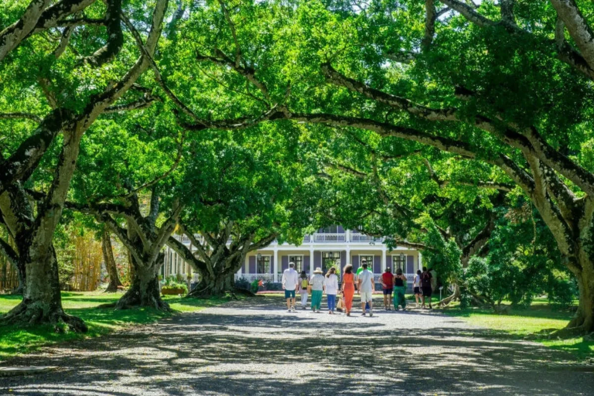
Twenty-five minutes south at Mapou: a restored 1859 mansion with orchards, an estate rum distillery and lunch in the garden.
Cap Malheureux public beach,
Royal Road, Cap Malheureux,
Rivière du Rempart District, Mauritius
Around 10 minutes from Grand Baie
Approximately 45–55 minutes from Port Louis
Around 1 hr 20 min from the airport
On the coast road at the northern tip of the island, ten minutes beyond Grand Baie, with roadside parking directly beside the chapel and the beach.
Coin de Mire — Gunner’s Quoin — rising straight out of the sea offshore, with Flat Island and Round Island visible beyond it on clear days. The red-roofed chapel of Notre Dame Auxiliatrice stands just behind the sand.
The lagoon is shallow and generally calm, so a gentle swim is fine, but this is a working fishing beach rather than a resort strip — there is limited sand, boats coming and going, and rocky patches underfoot. Pereybere or Bain Boeuf are better for a full beach day.
From the ships wrecked on this exposed northern point over the centuries. It is also where British forces landed in 1810 during the campaign that took the island from the French.
Yes — trips to Coin de Mire, Flat Island and Gabriel Island run from this stretch of the north coast. Agree the price and duration before boarding, and check what is included.
Early morning, while the sun still lights the chapel and the water from the front and the fishing boats are on the sand. Weekends and late afternoon are busier, and the roadside parking fills quickly.