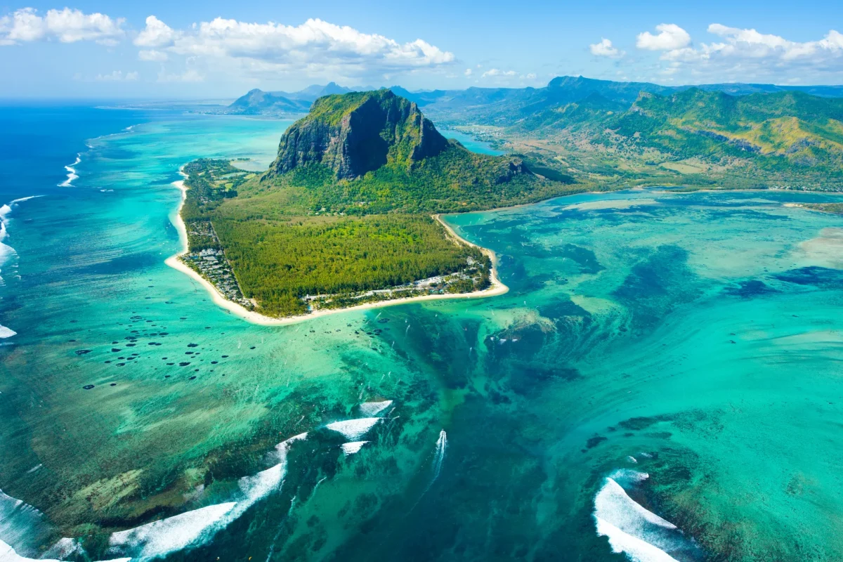
A 556-metre basalt monolith at the tip of the south-west peninsula — a UNESCO World Heritage cultural landscape, a refuge for people who escaped slavery, and the most demanding day hike on the island.
REGION
Le Morne, Rivière Noire (South West)
BEST TIME
Set off at first light; descend before midday heat
ENTRY
Free to the plateau; guide required above it
TIME NEEDED
3 to 4 hours return
Why It's Worth the Climb
A mountain that stands for freedom.
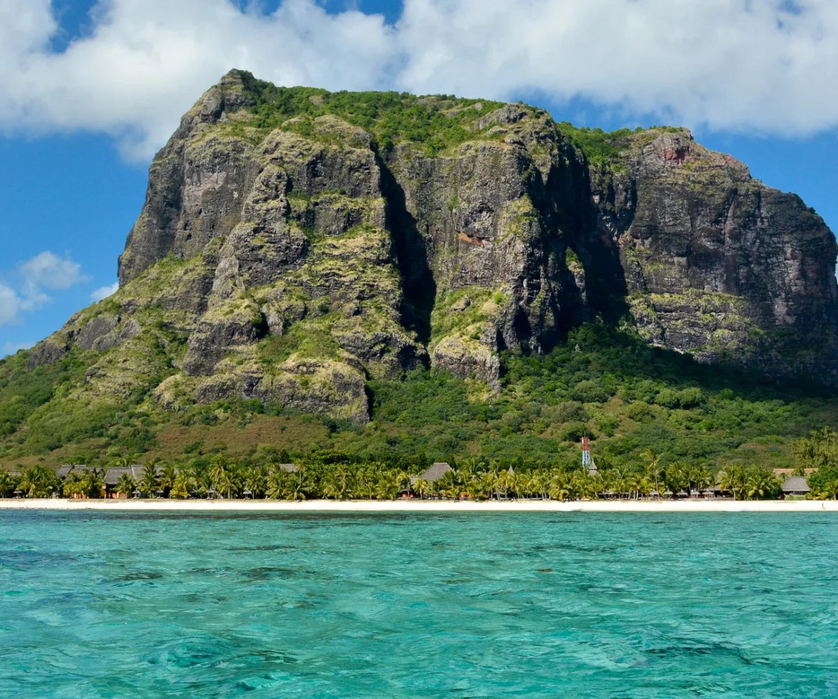
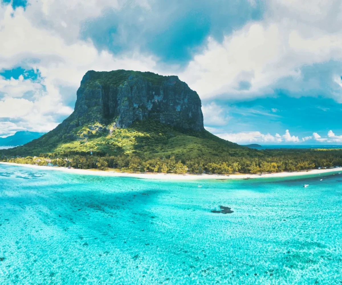
Le Morne rises almost vertically out of the lagoon at the end of the peninsula, a sheer-sided block of basalt topped by a wooded plateau, with caves and overhangs cut into the cliffs. Those caves are the reason it is protected. Through the eighteenth and early nineteenth centuries, people who had escaped slavery — maroons — took refuge on its almost unreachable slopes and formed small settlements there. UNESCO inscribed the Le Morne Cultural Landscape as a World Heritage Site in 2008, recognising the mountain as an exceptional symbol of resistance to slavery, and it carries that meaning for Mauritians today in a way no other landmark does.
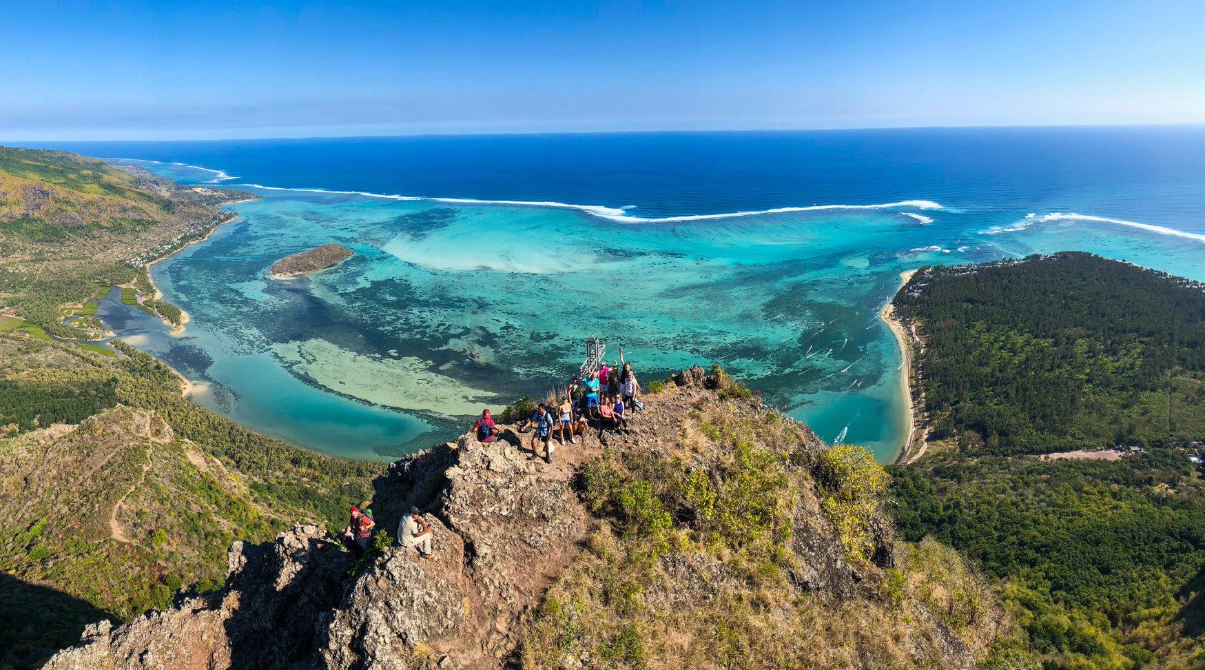
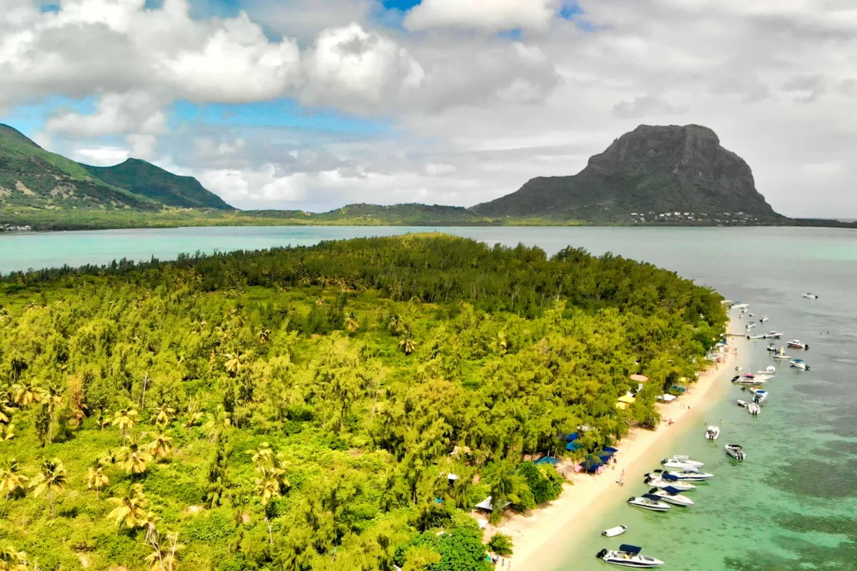
The mountain is also a genuine hike rather than a viewpoint. The trail climbs steadily through scrub and forest from the base near the village; the lower section to the plateau, roughly an hour and a half up, is straightforward and open to anyone. Above that the route steepens sharply onto rock, with chains and fixed ropes in places, and a licensed guide is required for the final push to the summit — not a formality, as the exposure is real and rescues here are difficult. Start at first light: the path is unshaded, and the heat and afternoon cloud both build quickly. From the top the whole lagoon lies below you, with Île aux Bénitiers, the reef and the sediment shelf that produces the underwater waterfall illusion. Two rare endemics grow on the slopes: the mandrinette hibiscus and Trochetia boutoniana, the national flower.
Trail generally open from early morning Last ascents restricted late morning Guide required above the plateau
WHAT TO BRING
Two litres of water per person, proper hiking shoes, sun protection and a hat. There is no shade, no water on the mountain and no shop at the trailhead.
ACCESSIBILITY
The lower section to the plateau suits most reasonably fit walkers. The upper section involves steep scrambling on rock with chains and requires a licensed guide; it is not suitable for young children or anyone uneasy with exposure. Access times are enforced, so start early rather than turning up at midday.
EXPLORE MORE AROUND
Pair Le Morne Brabant With
Le Morne Beach
Straight below the trailhead: shallow turquoise water, casuarina shade and the best kitesurfing conditions on the island — the obvious reward after the descent.
Le Morne Brabant, Le Morne peninsula, Rivière Noire District, Mauritius
DRIVE TIME
Around 1 hr 15 min from Port Louis Approximately 45 minutes from Flic-en-Flac Around 1 hr 15 min from the airport
GETTING THERE
The trailhead is signposted off the road around the peninsula, past Le Morne village, with informal parking near the start. Guides can be arranged in advance or met at the trailhead.
It was inscribed in 2008 as the Le Morne Cultural Landscape. Through the eighteenth and early nineteenth centuries, people who had escaped slavery took refuge in the caves and on the almost inaccessible slopes, and the mountain became a symbol of resistance to slavery and of the pursuit of freedom.
The lower section to the plateau takes around an hour and a half and suits most reasonably fit walkers. Above that the route steepens onto rock with chains and fixed ropes, and is considerably more demanding. Allow three to four hours return.
Not for the lower trail to the plateau, but a licensed guide is required for the final section to the summit. Given the exposure and the difficulty of rescue on the upper slopes, this is worth taking seriously rather than working around.
At first light. The path has no shade, the heat builds fast, cloud often closes the summit by late morning, and access times to the upper mountain are restricted, so late starts are turned back.
556 metres. It is a basalt monolith with near-vertical sides and a wooded plateau on top, and it is home to two rare endemic plants — the mandrinette hibiscus and Trochetia boutoniana, the national flower of Mauritius.