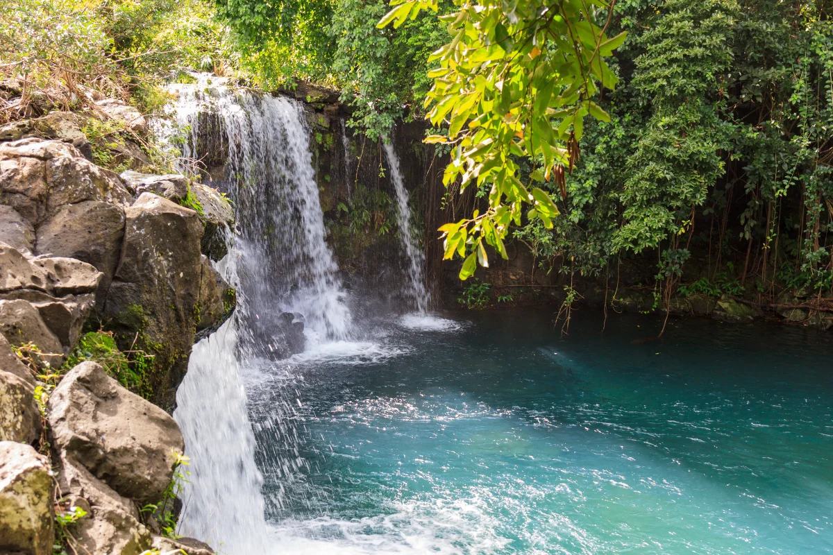
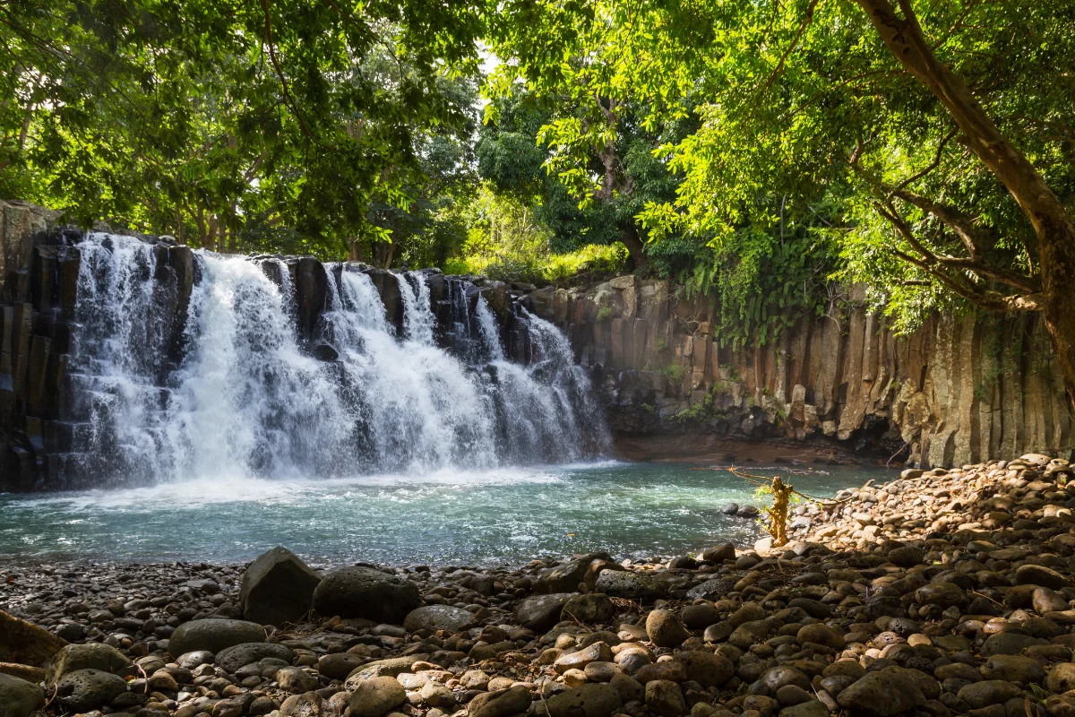
Chamarel Waterfall

Mauritius’ tallest single-drop waterfall, falling close to 100 metres from a basalt cliff inside the Chamarel Geopark, with two railed viewpoints looking straight onto it.

REGION
Chamarel, Rivière Noire (South West)
BEST TIME
Morning light; fullest flow after rain
ENTRY
Rs 800 adult – Geopark ticket
TIME NEEDED
30-45 minutes
Why It's Worth the Stop

The tallest single drop on the island, in one clean view.

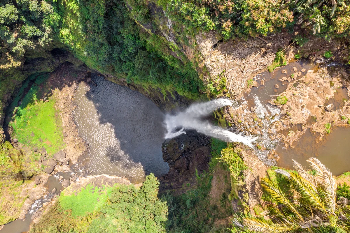
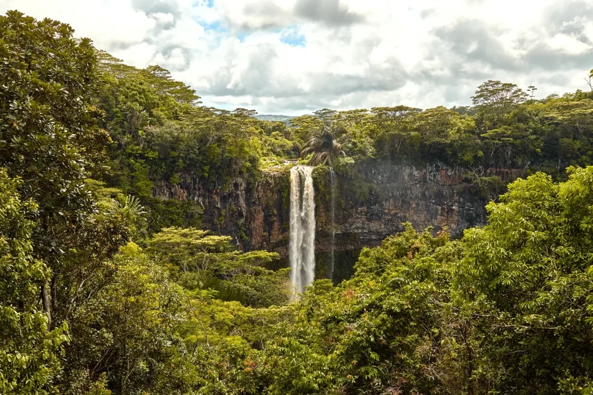
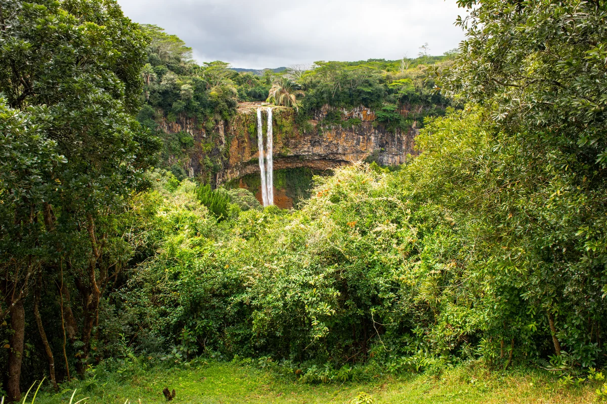
The waterfall sits inside the Chamarel 7 Coloured Earth Geopark, a short drive from the ticket booth and a few level steps from the car park. Three streams gather into the Saint Denis River above the cliff, then fall roughly 100 metres in a single unbroken drop into an oval pool, before the water runs on down a forested canyon towards Baie du Cap.

The cliff face is a cross-section of the island’s volcanic past: an older brecciated basalt layer formed between 10 and 8 million years ago, capped by a younger flow laid down 3.5 to 1.7 million years ago. Flow changes with the season — after heavy summer rain it can peak at around 40,000 cubic metres a minute, while the drier winter months leave a narrower ribbon and a clearer view of the rock. Two viewpoints face the falls from slightly different angles, and the same ticket continues to the Seven Coloured Earth dunes and the tortoise park further along the park road. Most visitors spend 30 to 45 minutes here before driving on through the Geopark.

chamarel waterfall viewpoint mauritius 1 e1704634467979
Chamarel Waterfall dropping into its pool below the basalt cliff
View from above Chamarel Waterfall, where three streams meet before the drop

Good to know.

OPENING HOURS

Daily from 8:30 AM
October–May until 5:30 PM (last tickets 5:00 PM)
June–September until 5:00 PM

WHAT TO BRING

Sun protection, water and a wide-angle lens; a light rain jacket in summer, when showers pass quickly through the highlands.

ACCESSIBILITY

Level parking a short, paved walk from the main platform — among the easier waterfall viewpoints on the island. Picnics and pets are not permitted inside the Geopark.

EXPLORE MORE AROUND

Pair Chamarel Waterfall With

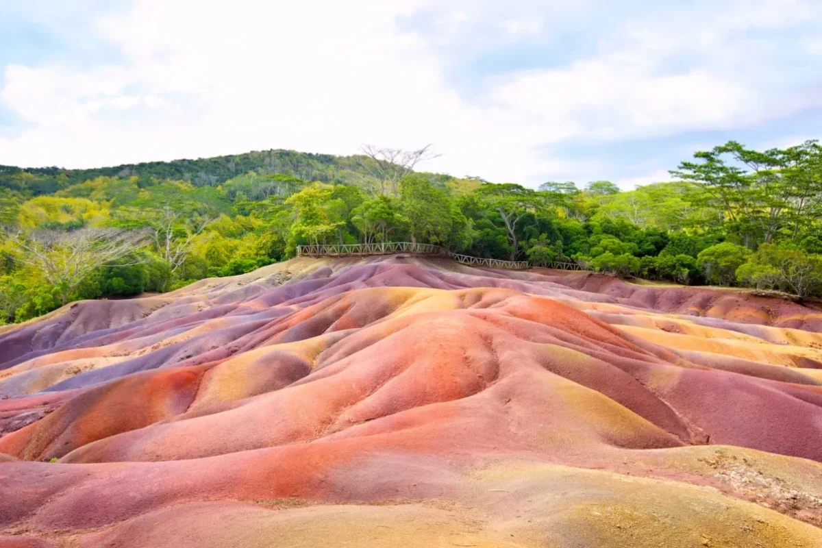
Seven Coloured Earth

The same ticket carries on to the dunes of red, brown, violet and green sand that gave Chamarel its name, plus the giant tortoise park.

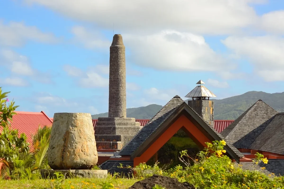
Chamarel Rhumerie

Tour the estate distillery a few minutes down the road, where cane juice is pressed and distilled on site, and finish with a guided rum tasting.

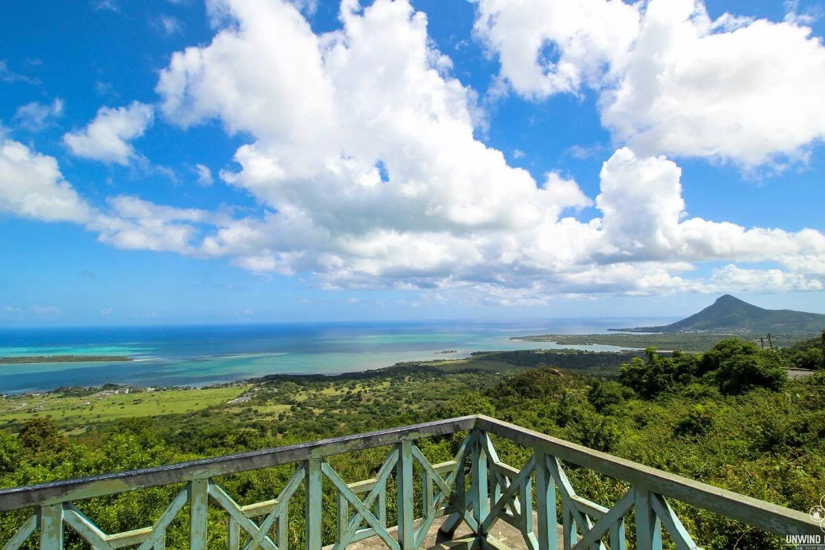
Chamarel Viewpoint

Stop on the road down from the village for an open view across the plain to Le Morne Brabant and the lagoon beyond.

FIND IT ON THE MAP

Where Chamarel Waterfall sits

ADDRESS

Chamarel Waterfall,
Chamarel 7 Coloured Earth Geopark,
Chamarel, Rivière Noire District, Mauritius

DRIVE TIME

Around 1 hr–1 hr 15 min from Port Louis
Approximately 45 minutes’ drive from Flic-en-Flac
Around 25–30 minutes from Le Morne

GETTING THERE

Follow the signed road through Chamarel village to the Geopark’s drive-through ticket booth; from the gate it is about 1.5 km by car to the waterfall car park, with parking at the viewpoints.

Explore Similar Places

GOOD TO ASK

Frequently asked questions.

Close to 100 metres in a single unbroken drop, which makes it the tallest single-drop waterfall in Mauritius. It is fed by three streams that join the Saint Denis River just above the cliff.

Yes. The falls sit inside the Chamarel 7 Coloured Earth Geopark, and one ticket covers the waterfall viewpoints, the coloured dunes and the tortoise park. Non-resident rates are around Rs 800 for adults and Rs 400 for children aged 5–11, with lower resident rates. Prices are revised from time to time, so check before you go.
The Geopark opens daily at 8:30 AM. From October to May it closes at 5:30 PM, with last tickets sold at 5:00 PM; from June to September it closes at 5:00 PM.

Not from the viewpoints, which are railed platforms above the falls. The base pool is reached only on a guided hike or canyoning descent arranged separately with a licensed operator.

Morning, for softer light and fewer coaches, or late afternoon. Flow is strongest in the wetter months from January to April, while the drier winter months give a thinner fall and clearer views of the rock face.