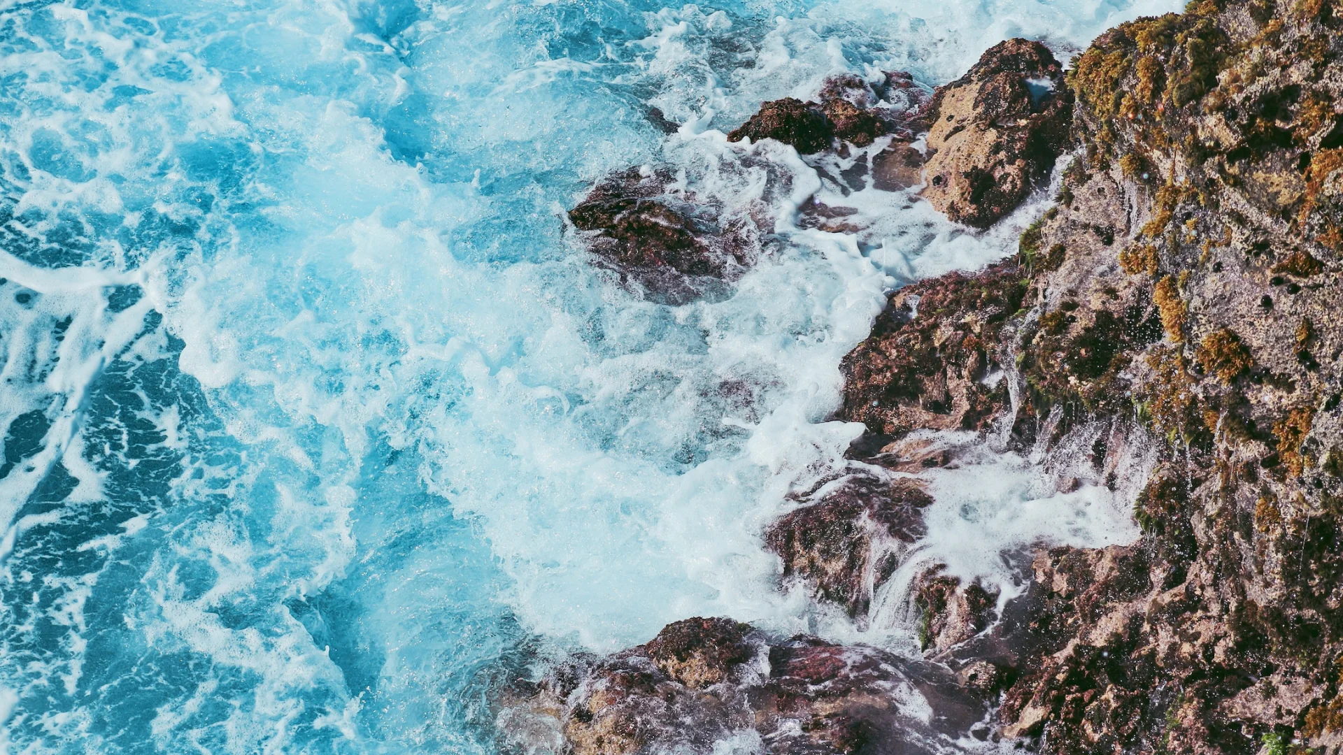
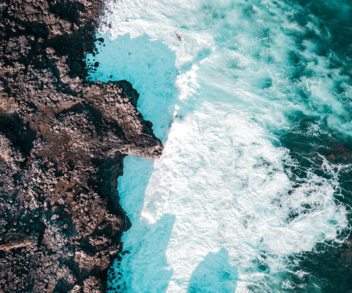
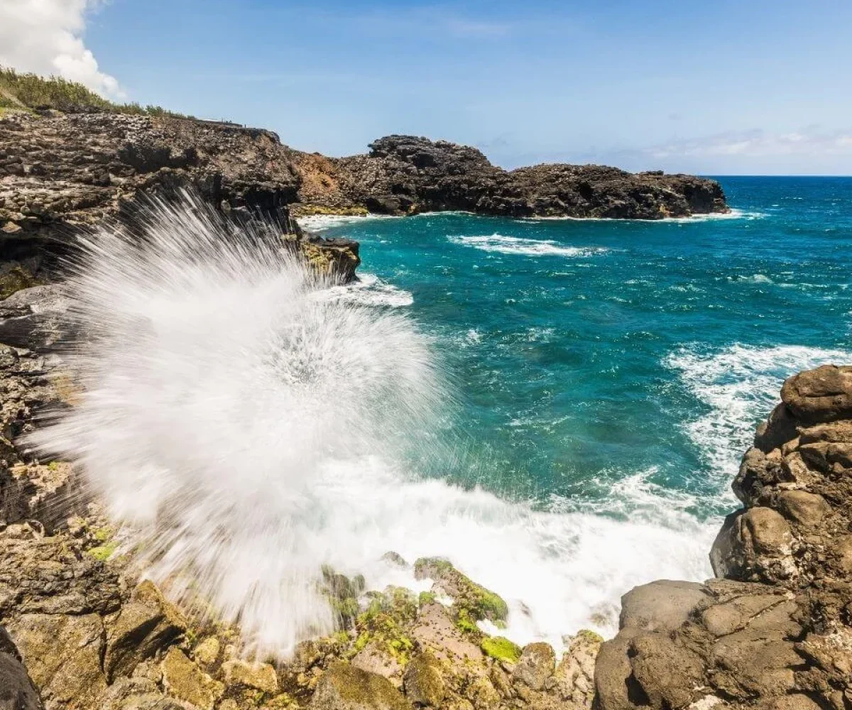
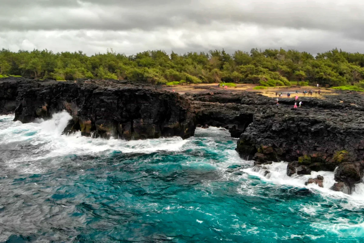
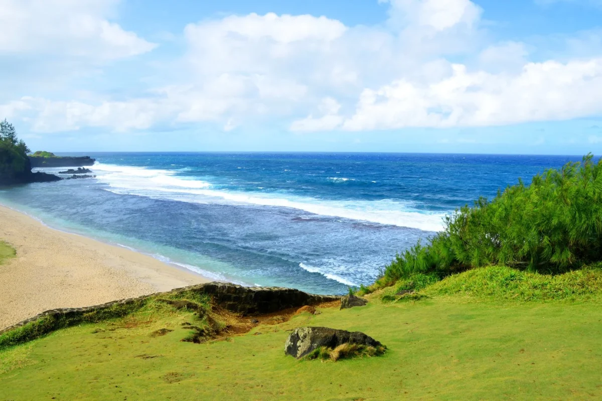
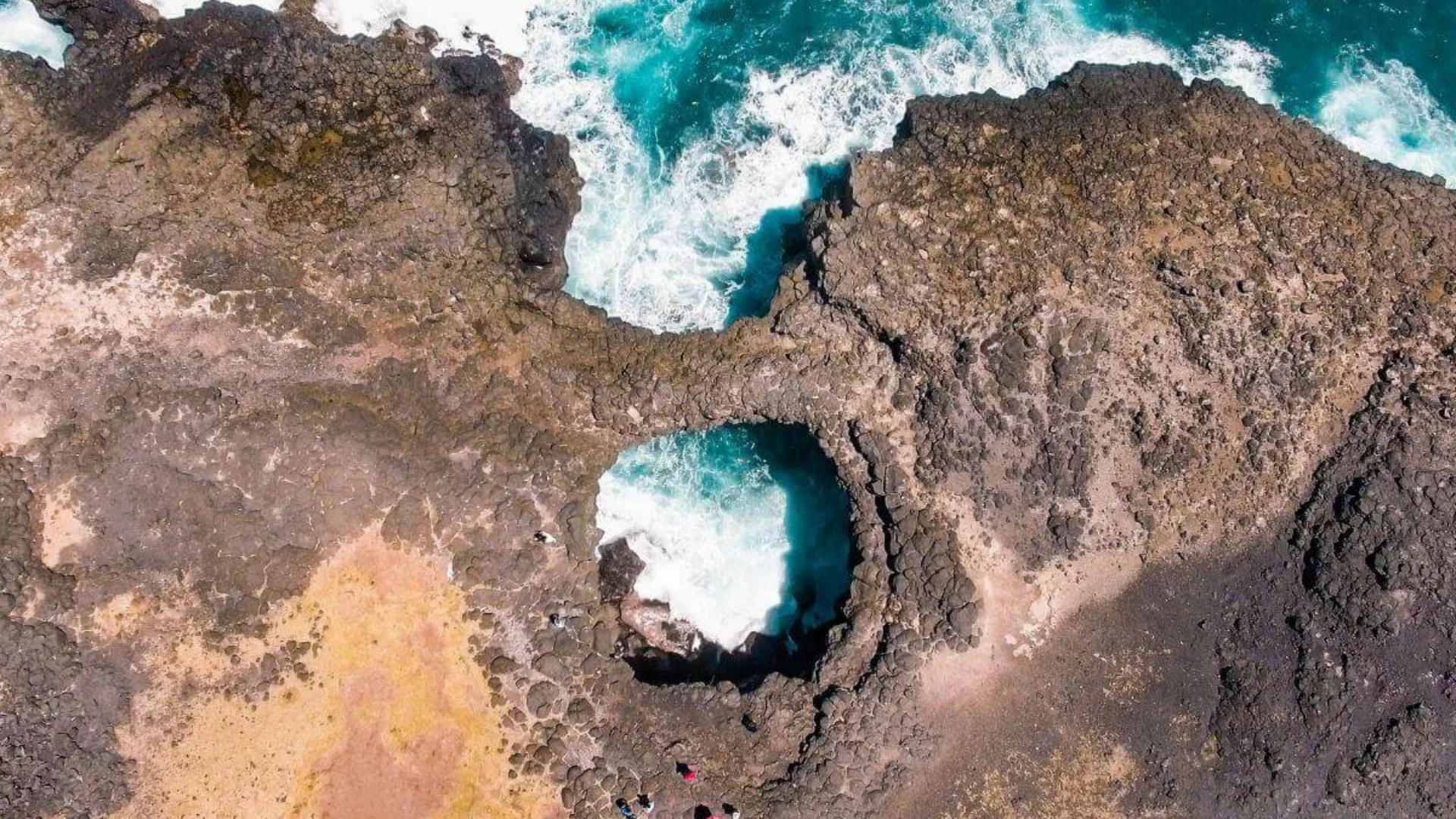
A blowhole on the cliffs at L’Escalier, reached across the Savannah sugar estate on a rough track — where a heavy swell forces seawater up through the rock in a spout you hear before you see.
REGION
L'Escalier, Savanne (South Coast)
BEST TIME
Rough-sea days; winter swell, June to August
ENTRY
Free – access across estate land
TIME NEEDED
45 minutes to 1 hour
Why It's Worth the Trip
Where the open ocean gets underneath the island.
The reef that shelters most of Mauritius breaks on this stretch of the south coast, so the Indian Ocean arrives on the cliffs without anything to slow it. Over centuries the swell has hollowed out grottoes in the lava rock at L’Escalier, and at Le Souffleur — the blower — the roof of one has been worn through. When the sea runs high, water is driven into the cavity and forced back out through the gap as a spout; in the right conditions it has been recorded at up to 20 metres.
Be realistic about it: the spout depends entirely on swell and tide, and on a calm day you may see nothing more than surges of foam and hear the low whistling that gave the place its name. That is still worth the drive, because the setting does the rest — black cliffs, no railings, no crowds, and a natural land bridge a short walk along the shore where another grotto roof collapsed completely. Continue on foot and you reach two more small arches and Savinia, one of the emptiest beaches in Mauritius. Access is across working sugar estate land at L’Escalier, on an unsurfaced and heavily potholed track; a high-clearance vehicle makes it far easier, and the cliff edges are unfenced and genuinely dangerous in wet weather.
Daylight hours, via the estate track Access is across private sugar estate land Check locally before setting out
WHAT TO BRING
Closed shoes with grip, water and a windproof layer. There is no shade, no shop and no toilets — and no phone signal in places.
ACCESSIBILITY
The final kilometres are unsurfaced and badly potholed; a high-clearance or 4×4 vehicle is strongly advised. Cliff edges are unfenced with no barriers or signage, so keep well back, especially in wet or windy weather and with children.
EXPLORE MORE AROUND
Pair Le Souffleur With
Pont Naturel
The other great rock formation on this coast, a short drive east — a lava arch over a sea cave, reached on another cane-field track.
Le Souffleur, via Savannah sugar estate, L’Escalier, Savanne District, Mauritius
DRIVE TIME
Around 1 hr 10 min from Port Louis Approximately 30–35 minutes from the airport Around 30 minutes from Souillac Add 10–15 minutes for the unsurfaced estate track.
GETTING THERE
Turn off the coast road in L’Escalier towards the Savannah sugar mill and follow the signed access road through the cane fields to the sea. Mapping apps are unreliable here — aim for the sugar mill first. The last stretch is unsurfaced.
A blowhole in the lava cliffs at L’Escalier on the south coast. The reef breaks here, so the open ocean has hollowed grottoes into the rock; at Le Souffleur the roof has worn through, and heavy swell forces water back out as a spout.
Only when the sea is running high. On calm days you may see surges of foam and hear the whistling that gives the site its name, but no fountain. Rough-sea days and the winter swell months give the best odds.
Through the village of L’Escalier and across the Savannah sugar estate, following the access road through the cane fields to the sea. Mapping apps often mislead here — navigate to the sugar mill first, then follow the signs.
Not strictly, but the last stretch is unsurfaced and heavily potholed. A high-clearance vehicle makes the drive considerably easier; in a low car, expect to park early and walk.
A natural land bridge a short walk along the shore, formed when another grotto roof collapsed, plus two smaller arches and Savinia beach further on. Pont Naturel is a short drive east along the same coast.