A dormant volcanic crater on the hill above Curepipe, rimmed by a road and a walking path — and, on a clear morning, the widest 360-degree view of the central plateau you can get without hiking.
REGION
Curepipe, Plaines Wilhems (Central)
BEST TIME
Early morning, before highland cloud builds
ENTRY
Free
TIME NEEDED
30 minutes to 1 hour
Why It's Worth the Stop
A volcano in the middle of a town, and the view that comes with it.
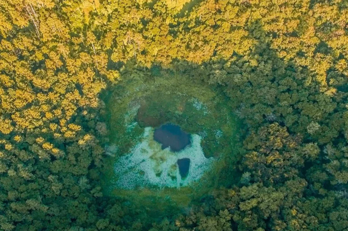
Trou aux Cerfs sits on a low hill on the edge of Curepipe, a near-perfect volcanic crater roughly 300 metres across and around 85 metres deep, with a small lake at the bottom and dense forest covering the inner slopes. The cone is dormant — the last activity in this part of the island was many thousands of years ago — and it is monitored by the geological services rather than treated as any kind of risk. What surprises most visitors is the setting: this is not remote countryside but a residential neighbourhood, with houses running almost to the rim.
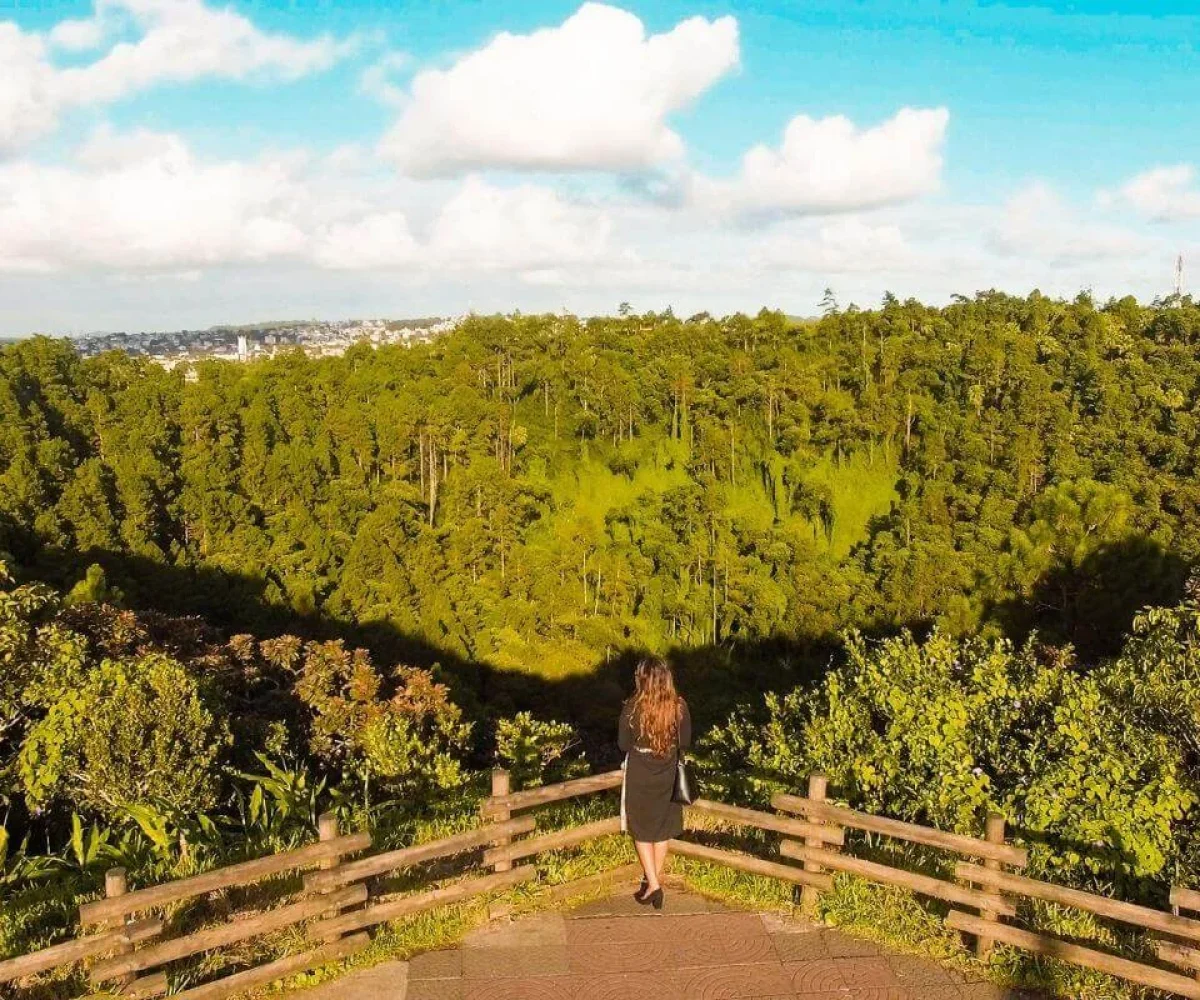
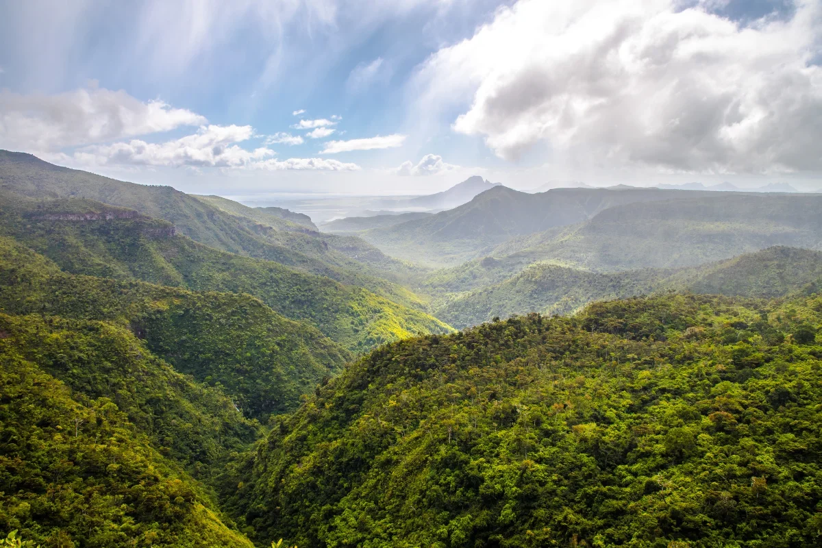
A surfaced road loops the crater and a footpath runs alongside it, about a kilometre round, which locals use for morning and evening walks. There are benches, a viewing area and a small radar station on the high side. From the rim on a clear day you can see across the whole central plateau: the Moka range to the north, Corps de Garde and Rempart to the west, and on the best mornings the outline of Le Pouce and Pieter Both. Cloud is the deciding factor — Curepipe is the wettest, coolest part of the island and the plateau routinely clouds over by mid-morning, so early is not just advice here but the difference between a panorama and a wall of grey. The crater floor itself is not accessible; the view is from the rim.
Open daily, daylight hours Free access, no ticket office Rim road and footpath open to all
WHAT TO BRING
A light jacket — Curepipe is several degrees cooler and far wetter than the coast — and shoes you can walk a kilometre in. An umbrella is rarely wasted here.
ACCESSIBILITY
The rim road is surfaced and the loop is gently graded, so it is manageable with a pushchair or with limited mobility, and there is roadside parking near the viewing area. The crater floor is not accessible to visitors.
EXPLORE MORE AROUND
Pair Trou aux Cerfs With
Grand Bassin
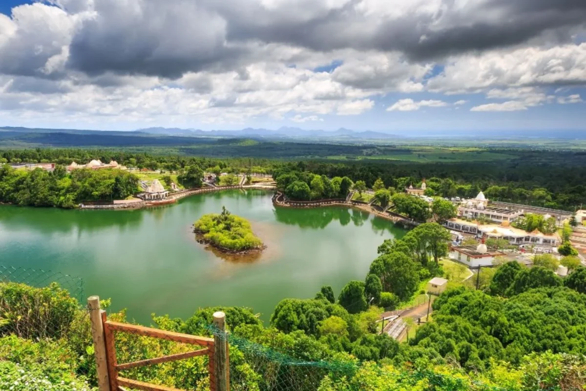
The island’s other great crater, half an hour further south: a sacred lake ringed by temples and watched over by two colossal statues.
Trou aux Cerfs, Edgar Hughes Street, Curepipe, Plaines Wilhems District, Mauritius
DRIVE TIME
Around 5 minutes from Curepipe centre Approximately 40–50 minutes from Port Louis Around 45 minutes from Flic-en-Flac
GETTING THERE
Signposted from central Curepipe, up a residential road to the crater rim, with roadside parking near the viewing area. The loop road is one-way in places.
No. It is a dormant crater; the last volcanic activity in this part of Mauritius was many thousands of years ago. The site is monitored by the geological services, and there is a small radar station on the rim.
Roughly 300 metres across and around 85 metres deep, with a small lake on the floor and dense forest covering the inner slopes. A road and footpath run right around the rim, about a kilometre in total.
No — the floor is not open to visitors. The viewing is from the rim, where there is a designated viewing area, benches and the loop path used by local walkers.
On a clear day, the whole central plateau: the Moka range to the north, Corps de Garde and Rempart to the west, and often Le Pouce and Pieter Both in the distance.
Early morning. Curepipe is the coolest and wettest part of the island and the plateau clouds over regularly by mid-morning, which can close the view entirely. Bring a light layer whatever the coast is doing.