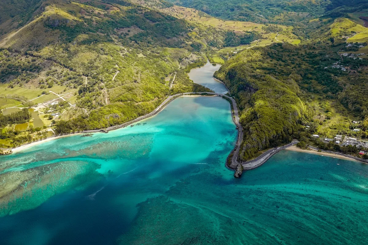
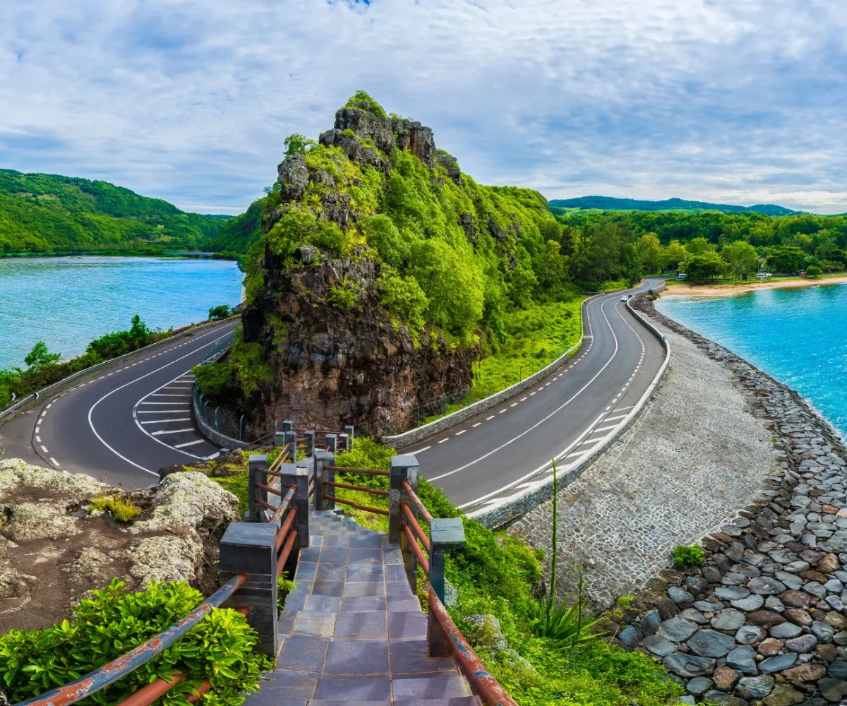
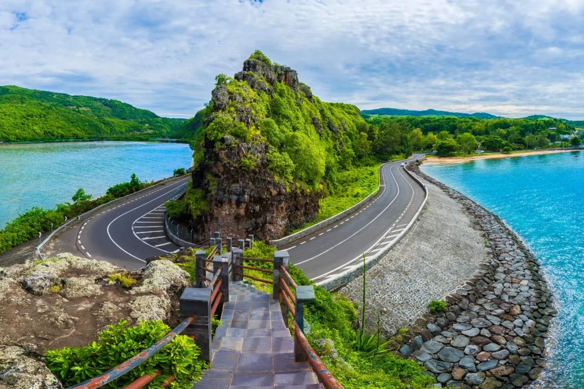
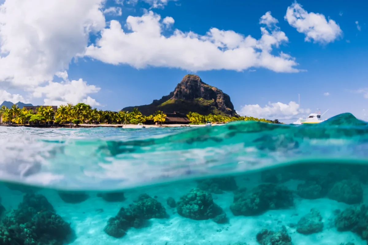
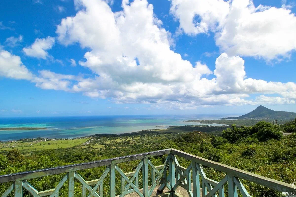
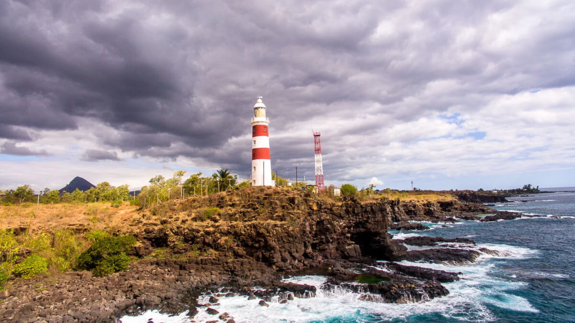
The stretch of coast road between Le Morne and Baie du Cap — hairpin bends cut into basalt cliffs, lagoon on one side, mountains on the other, and a viewpoint at every turn.
REGION
Le Morne to Baie du Cap (South West)
BEST TIME
Late afternoon light; weekday mornings for quiet
ENTRY
Free – public road
TIME NEEDED
45 minutes to 2 hours with stops
Why It's Worth the Drive
The best twenty minutes of driving on the island.
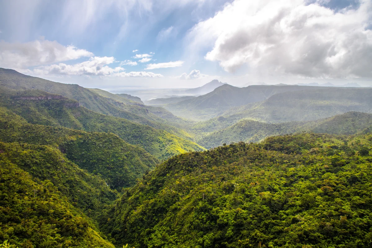
South of Le Morne the coastal plain runs out and the mountains of the Savanne range come down almost to the water. The road threads between them, hugging the shoreline through La Prairie, Baie du Cap and Maconde, dropping to sea level, climbing over headlands, and turning back on itself at the famous hairpin below Macondé rock. This corner of the island was effectively cut off until the first road was pushed through in the 1920s, which is part of why the villages along it still feel like fishing settlements rather than resorts.
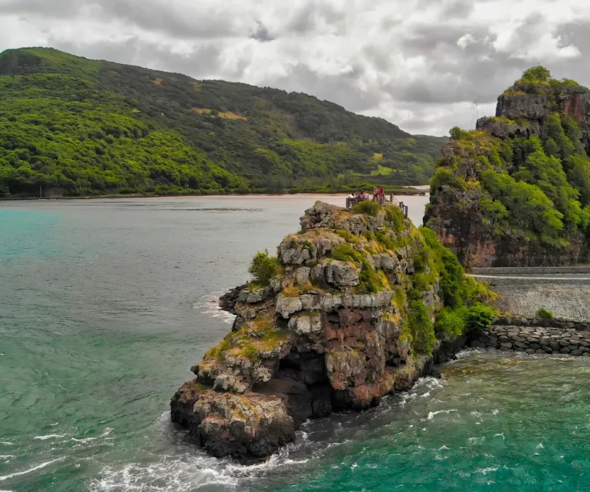
It is a drive rather than a destination, and it rewards being taken slowly. Worth stopping for: the Matthew Flinders monument at Baie du Cap, marking where the British navigator landed in 1803 and was detained on the island for years; Macondé viewpoint, reached by a short flight of steps from the roadside at the hairpin; La Prairie beach, a wide, wild stretch of sand looking back at Le Morne; and any of the small fishing bays where boats are pulled up on the shingle. The road is paved but narrow, with blind bends, no barriers in places and buses coming the other way, so it demands attention. Traffic builds at weekends, when the laybys around Macondé fill up.
Public road, open at all times Best driven in daylight Busiest at weekends
WHAT TO BRING
Sunglasses, a full tank and a camera. There are small shops and roadside stalls in the villages, but no fuel station on this stretch.
ACCESSIBILITY
Paved throughout and drivable in any car, but narrow with blind hairpins, few barriers and informal roadside parking only. Take the bends slowly, watch for buses, and pull fully off the tarmac before stopping.
EXPLORE MORE AROUND
Pair the Coastal Road With
Maconde Viewpoint
The high point of the drive, literally: a rocky outcrop at the hairpin with steps up to a 360-degree view over the lagoon and the coast.
Coastal road (B9), Le Morne to Baie du Cap, Rivière Noire / Savanne, Mauritius
DRIVE TIME
Around 20 minutes end to end without stopping Approximately 1 hr 15 min from Port Louis to Le Morne Around 45 minutes from Flic-en-Flac to Le Morne
GETTING THERE
Pick it up at Le Morne and follow the coast south through La Prairie, Baie du Cap and Macondé, or drive it in reverse from Souillac. Parking is on the roadside only, in informal laybys.
Along the south-west shore from Le Morne through La Prairie, Baie du Cap and Macondé, where the Savanne mountains meet the sea. Driven without stopping it takes around twenty minutes, but almost nobody does.
Macondé viewpoint at the hairpin bend, the Matthew Flinders monument at Baie du Cap marking the navigator’s landing in 1803, La Prairie beach looking back at Le Morne, and the small fishing bays in between.
Paved and drivable in any car, but narrow, with tight hairpins, blind bends and few barriers. Buses use it too. Take it slowly and pull fully off the tarmac before stopping — parking is informal roadside only.
Around forty-five minutes if you stop once or twice, or a couple of hours if you take in the viewpoint, the monument and a beach. It also links naturally onto the climb to Chamarel from Case Noyale.