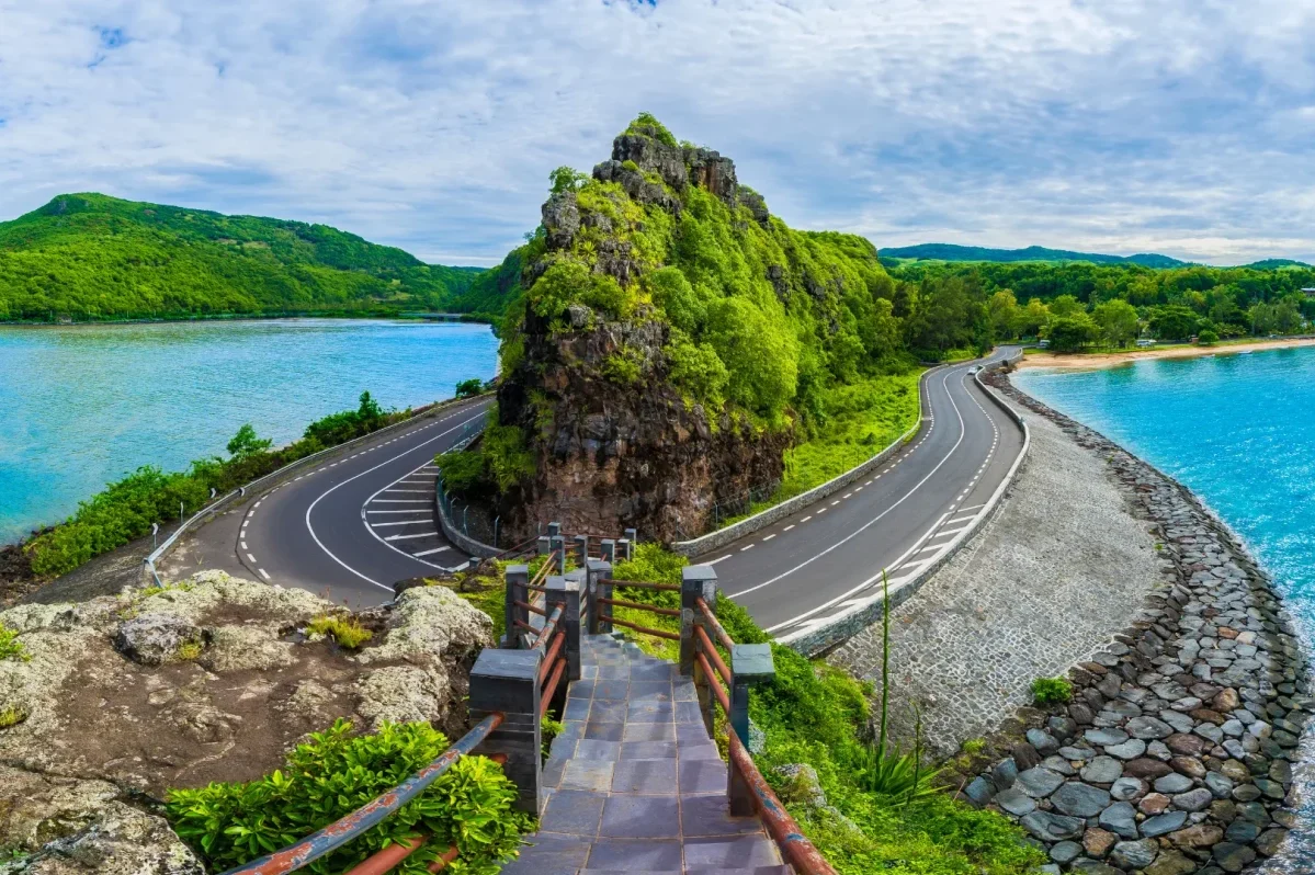
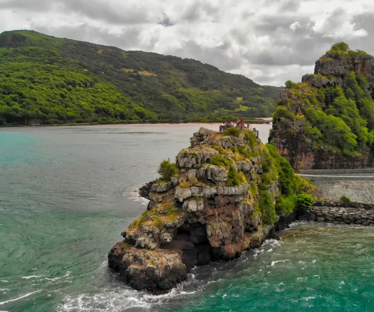
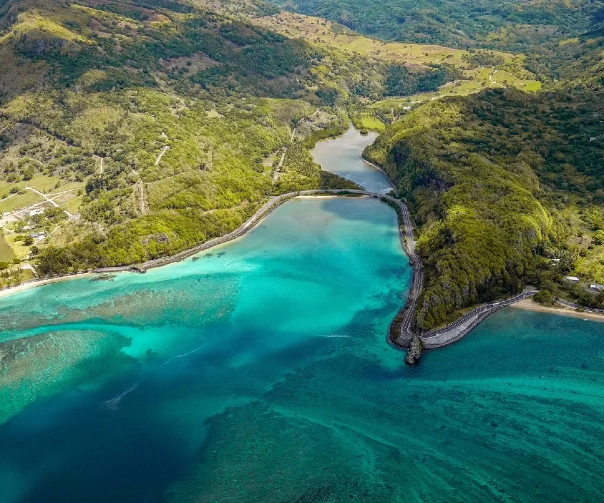
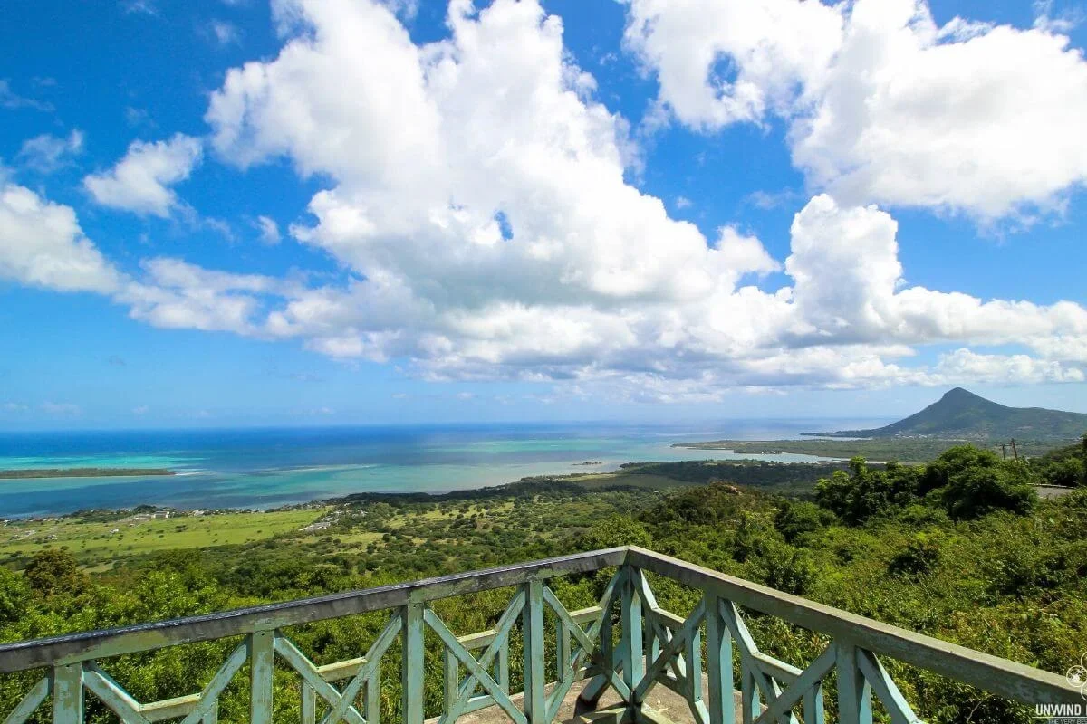
A rocky outcrop at the sharpest bend on the south-west coast road, with a narrow flight of steps up to a platform and a view that runs from the lagoon to Le Morne.
REGION
Baie du Cap, Savanne (South West)
BEST TIME
Weekday mornings; late afternoon for light
ENTRY
Free – open roadside viewpoint
TIME NEEDED
15 to 20 minutes
Why It's Worth the Stop
The bend everyone slows for, and the steps most people miss.
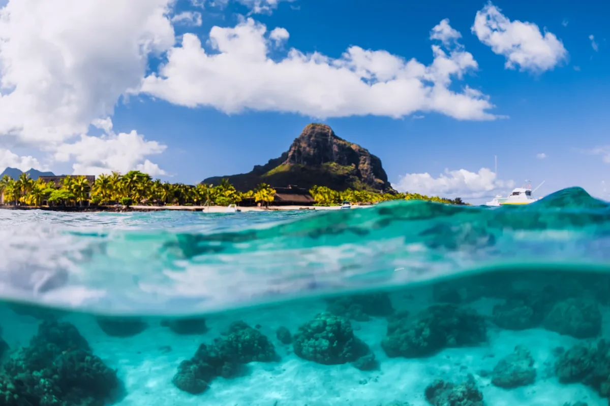
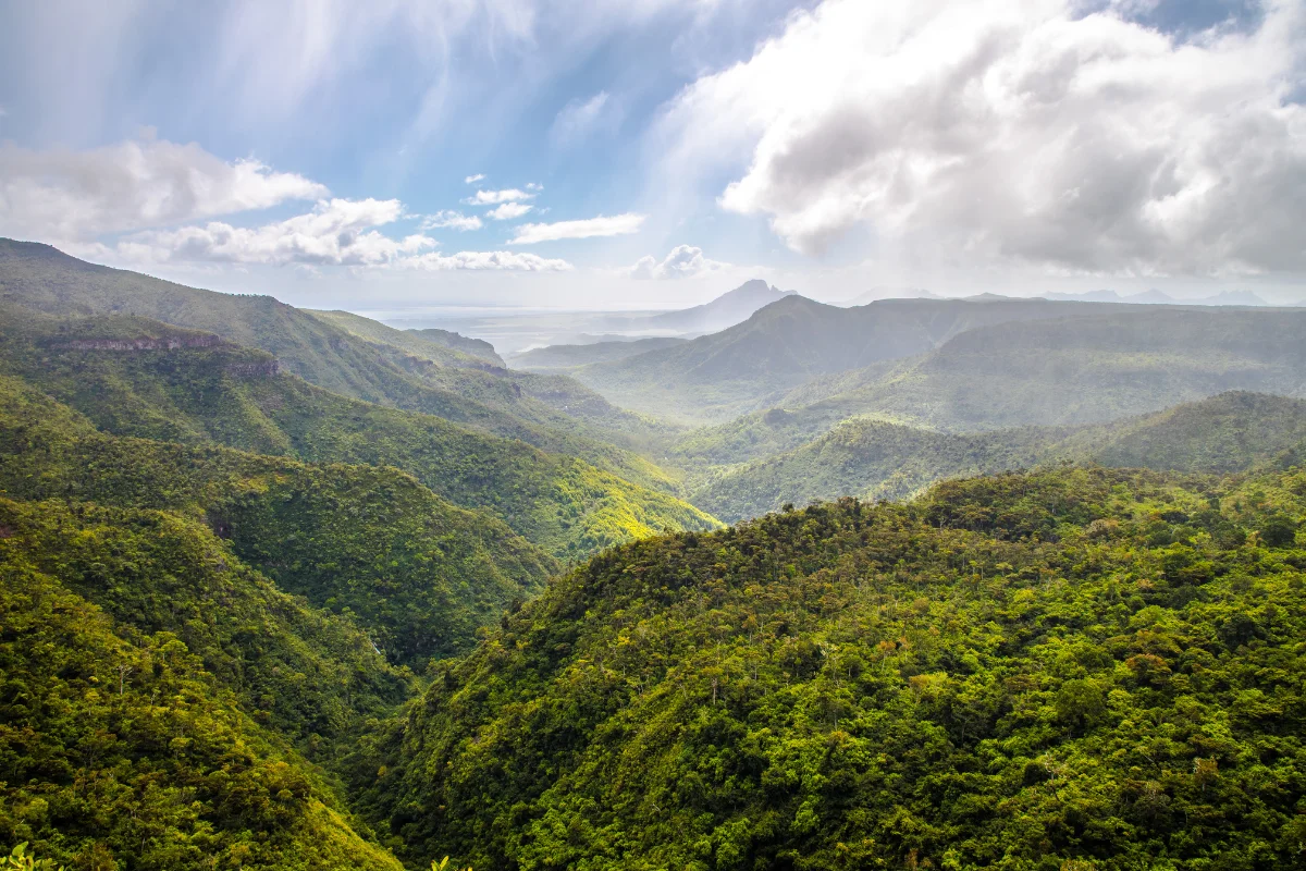
Macondé is the rock at the hairpin — the point where the coast road between Le Morne and Baie du Cap turns back on itself around a low basalt outcrop jutting into the sea. A narrow, steep flight of steps climbs from the roadside to a small platform on top, perhaps fifty metres above the water, and from there the view opens out in every direction: the turquoise lagoon below, the Savanne mountains dropping inland, the villages along the shore and, on a clear day, the silhouette of Le Morne Brabant to the north.
The name is generally traced to the Makonde people of Mozambique, from whom runaway slaves are said to have taken refuge in this rugged corner of the island; another account attributes it to a colonial-era lookout built on the cliff. Either way, this stretch was largely unreachable until the first coast road was cut through in the 1920s, and the drive to it is half the point. There is no dedicated car park, only roadside space on a narrow bend, so pull fully clear of the tarmac and take care rejoining. Weekends are busy and the top is often windy and completely unshaded. If you want the view without the crowd, a rough footpath behind the small shrine nearby climbs to an alternative vantage point in roughly half an hour on foot.
Open access, daily No gate and no ticket Best visited in daylight hours
WHAT TO BRING
Shoes with grip for the steps, water and something windproof — the platform is exposed and there is no shade at the top.
ACCESSIBILITY
Access is by a narrow, steep staircase from the roadside, so it is not suitable for wheelchairs or pushchairs, and the view from the road itself is limited. There is no car park — only informal roadside space on a blind bend, which fills quickly at weekends.
EXPLORE MORE AROUND
Pair Macondé Viewpoint With
Baie du Cap Coastal Road
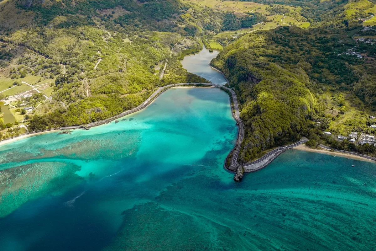
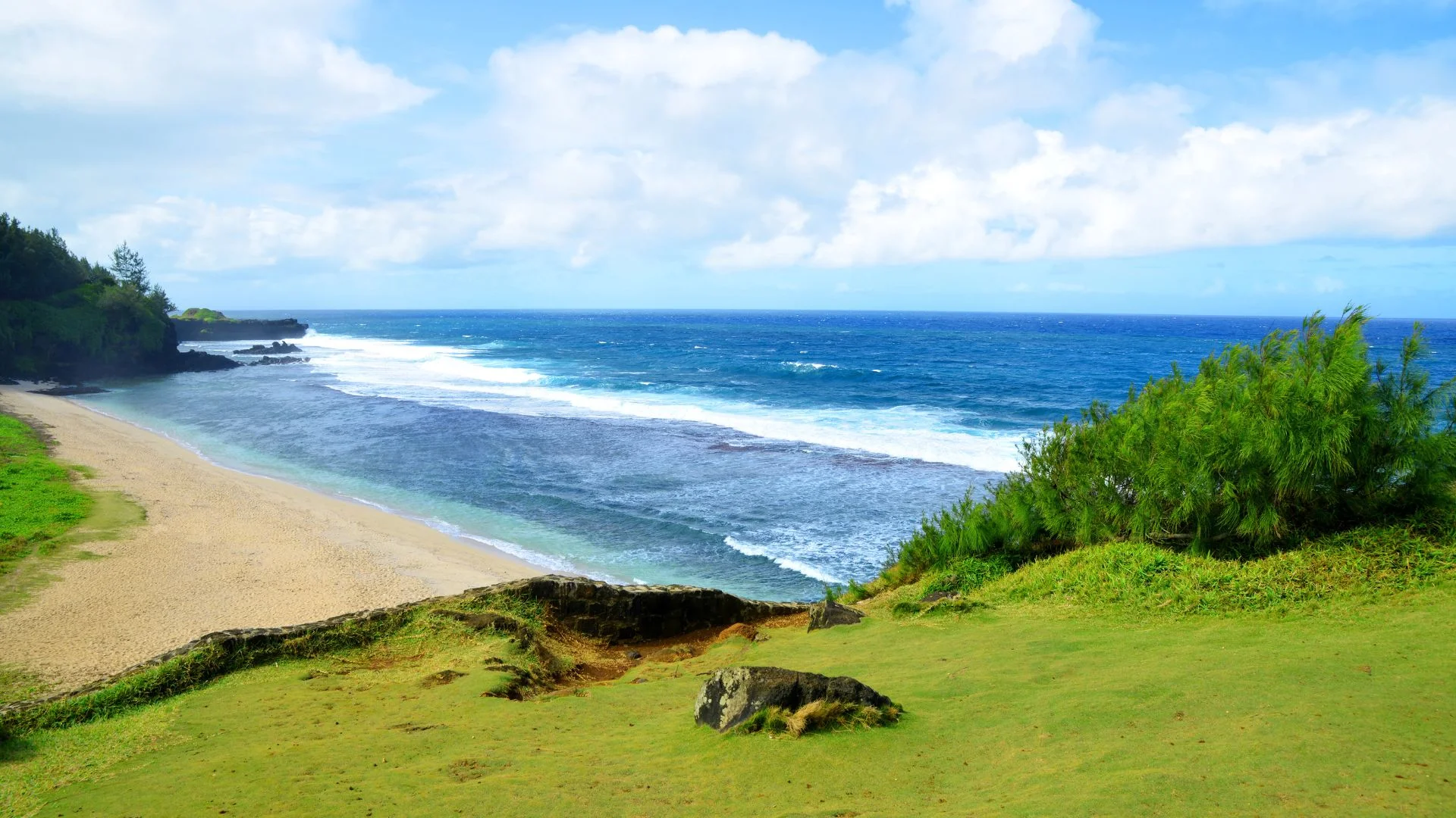
The drive the viewpoint sits on: hairpins, cliffs and lagoon all the way from Le Morne, with the Matthew Flinders monument along the way.
The monolith on the horizon from the platform: 556 metres of basalt and a UNESCO World Heritage cultural landscape, around fifteen minutes back up the coast.
Macondé Viewpoint, coastal road (B9), Baie du Cap, Savanne District, Mauritius
DRIVE TIME
Around 15–20 minutes from Le Morne Approximately 30 minutes from Souillac Around 1 hr 15 min from Port Louis
GETTING THERE
On the coast road between Le Morne and Baie du Cap, at the sharp hairpin around the rock. There is no car park — pull fully off the road in one of the informal laybys and use the steps up from the roadside.
On the coast road between Le Morne and Baie du Cap, at the sharp hairpin bend around a basalt outcrop that juts into the sea. Steps climb from the roadside to a small platform on top.
It is usually traced to the Makonde people of Mozambique, from whom runaway slaves are said to have sheltered in this rugged part of the island. Another account links it to a colonial-era lookout built on the cliff.
No dedicated car park — only informal roadside space on a narrow blind bend. Pull fully off the tarmac, and expect it to fill at weekends. Arrive early or come on a weekday.
Short but steep: a narrow staircase of perhaps a minute or two. It is not suitable for wheelchairs or pushchairs, and the platform at the top is exposed and often windy.
Yes — a rough footpath starting behind the small shrine nearby climbs to a second vantage point in roughly half an hour on foot. It sees far fewer people, but wear proper shoes and take water.